Acqua e ambiente
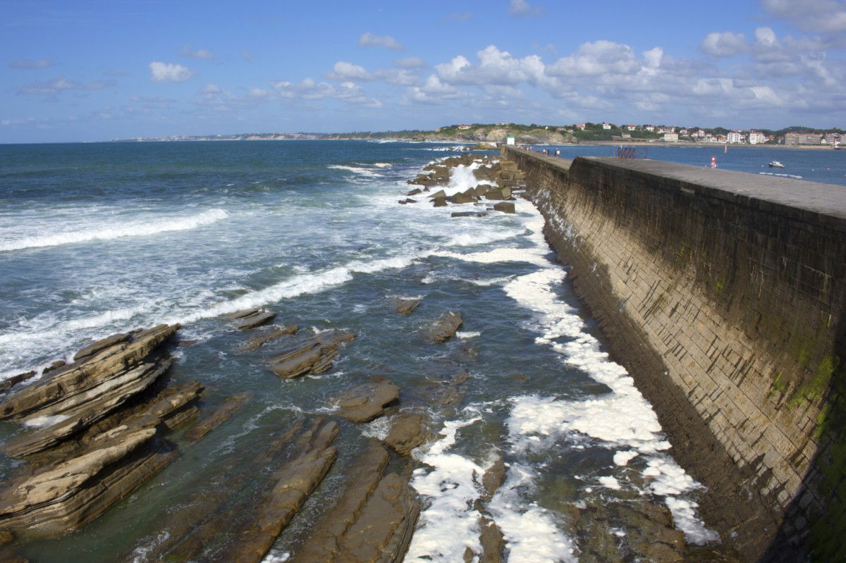
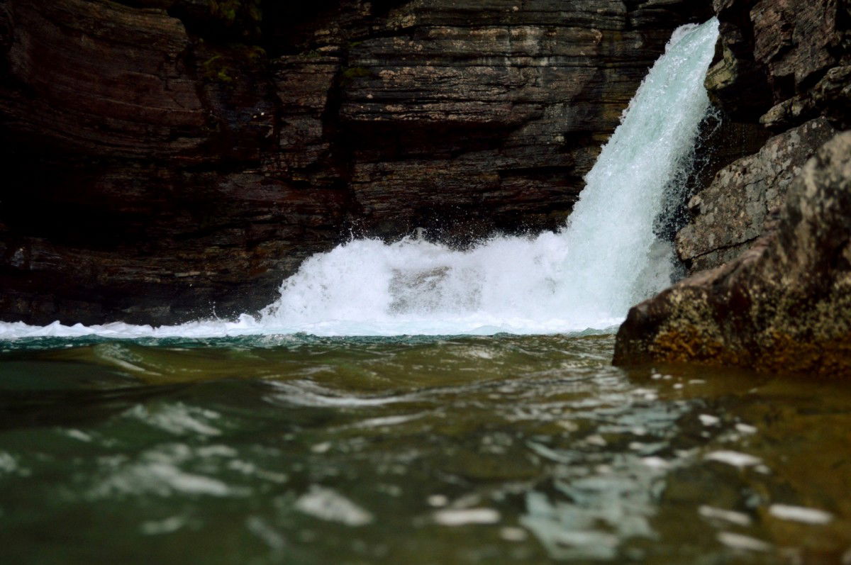
Nessun settore è versatile come quello dell’acqua e dell’ambiente. Qui si possono incontrare i sensori di KELLER Pressure nelle applicazioni più diverse. In questo modo si misurano per esempio profondità marine, si monitora la pressione dell’acqua sottostante nelle dighe di sbarramento, si determina una portata e si regola il livello dell’acqua. Grazie all’esperienza pluriennale KELLER Pressure offre una vasta competenza specializzata in questi settori.


Filtro

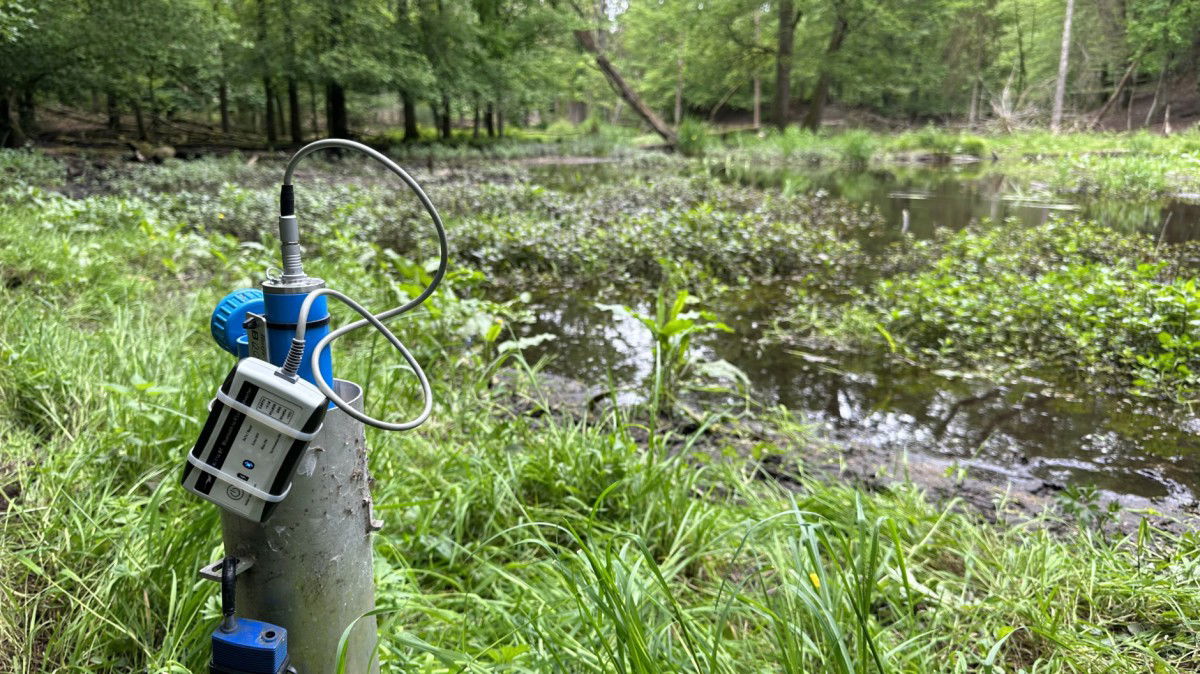
Groundwater Level Measurement Using a Lora Module
Early Leak Detection on the Construction Site
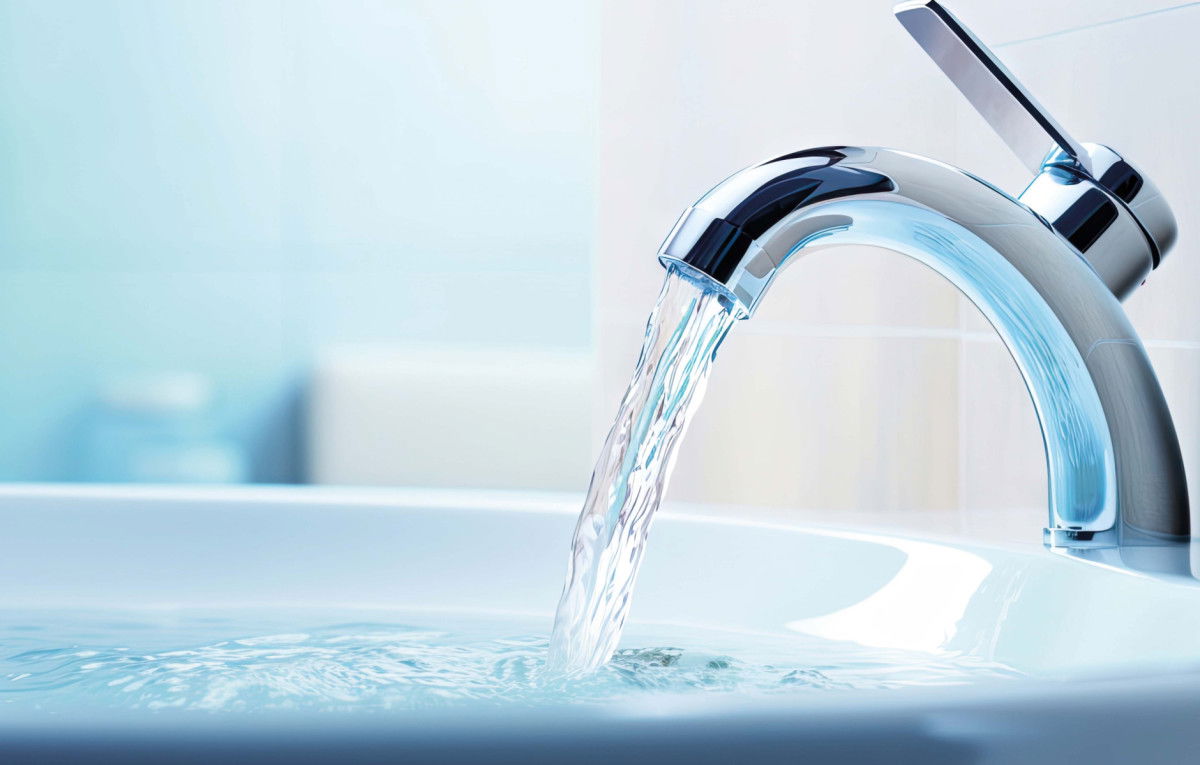
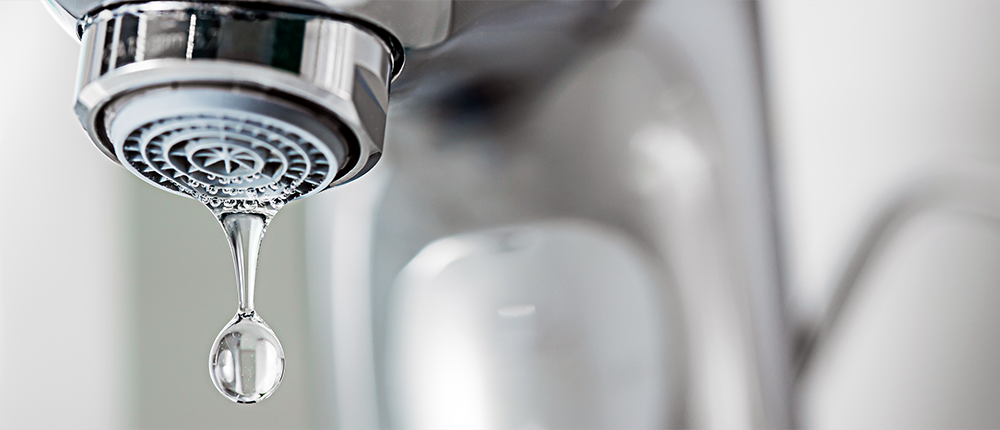
Senza acqua, tutto si ferma
Riciclaggio della CO2
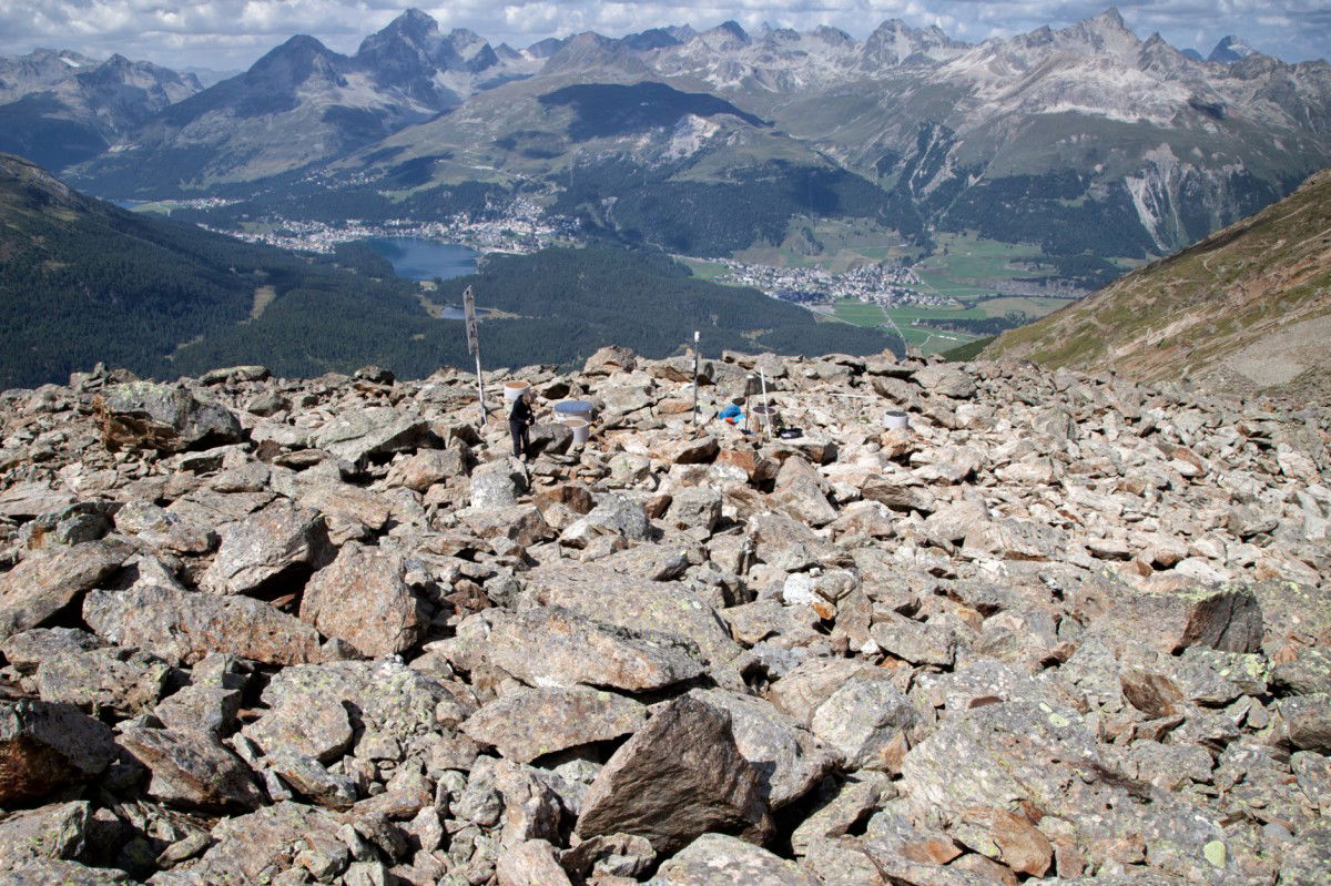
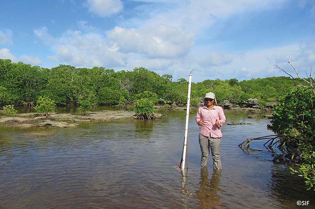
Pore-Water Pressure Monitoring in Ice-Rich Permafrost (EN)
Riciclo creativo dei sensori
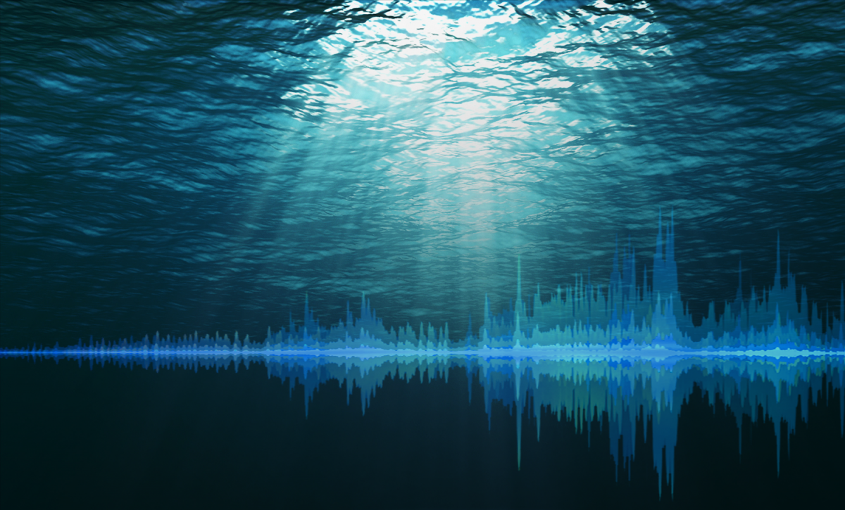
Monitoring the Seabed – The Subtle Distinction (EN)
Come misurare la pressione esercitata sul nostro ecosistema
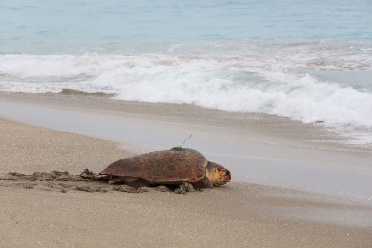
Tracking devices for marine animals (EN)
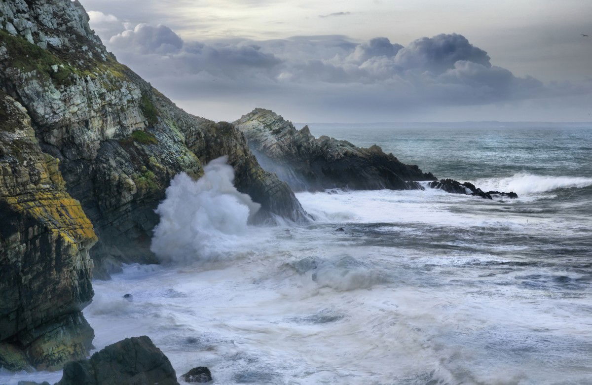
Measuring wave impact pressure (EN)
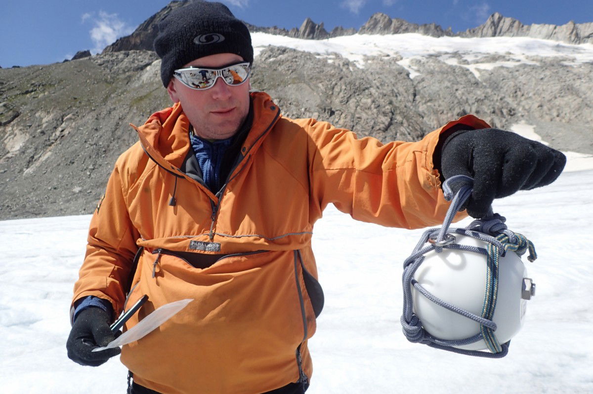
Ricerca sul ghiacciaio Cryoegg

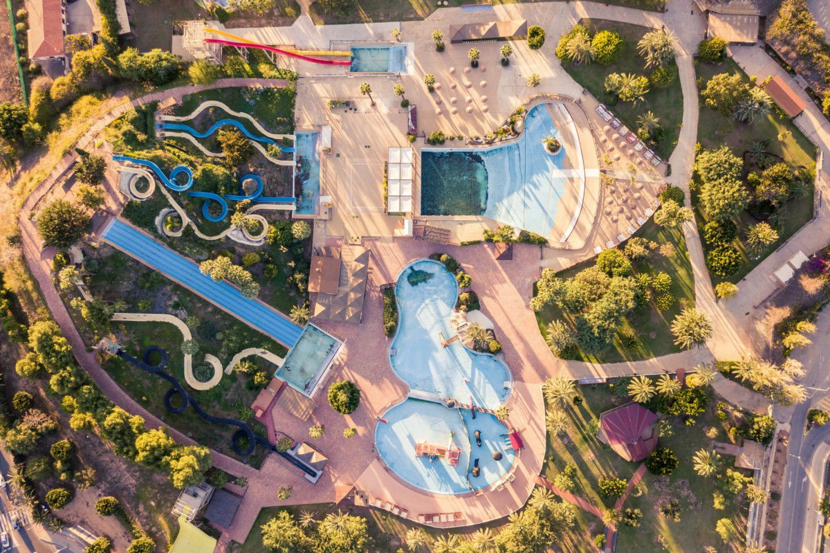
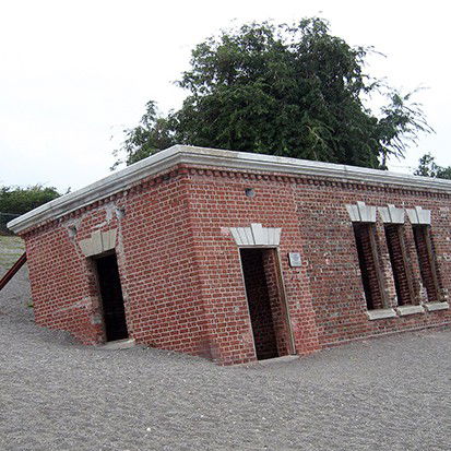
Il sistema idrico di Kololo
Reducing Drinking Water Losses (EN)
Hydraulic Network Analysis (EN)
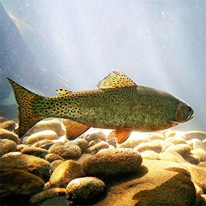
Fish Farm Water Level Monitoring (EN)
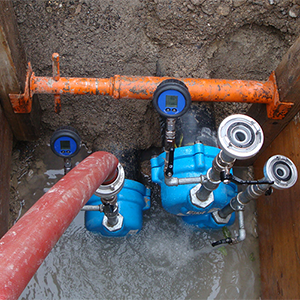
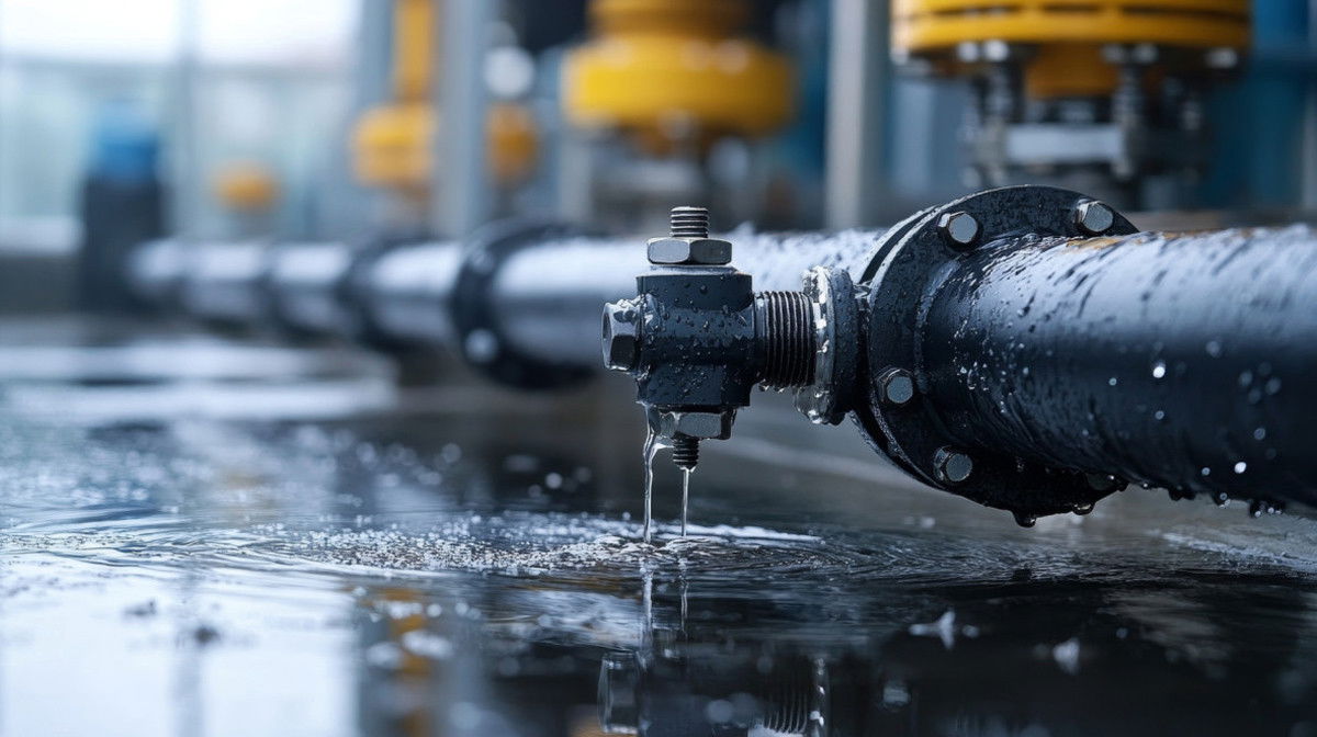
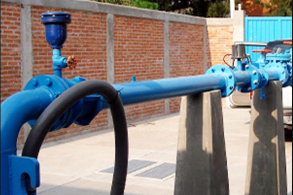
Pressure Sensors on Water Pipelines (EN)
Intelligent Sewage Overflow Measurement (EN)
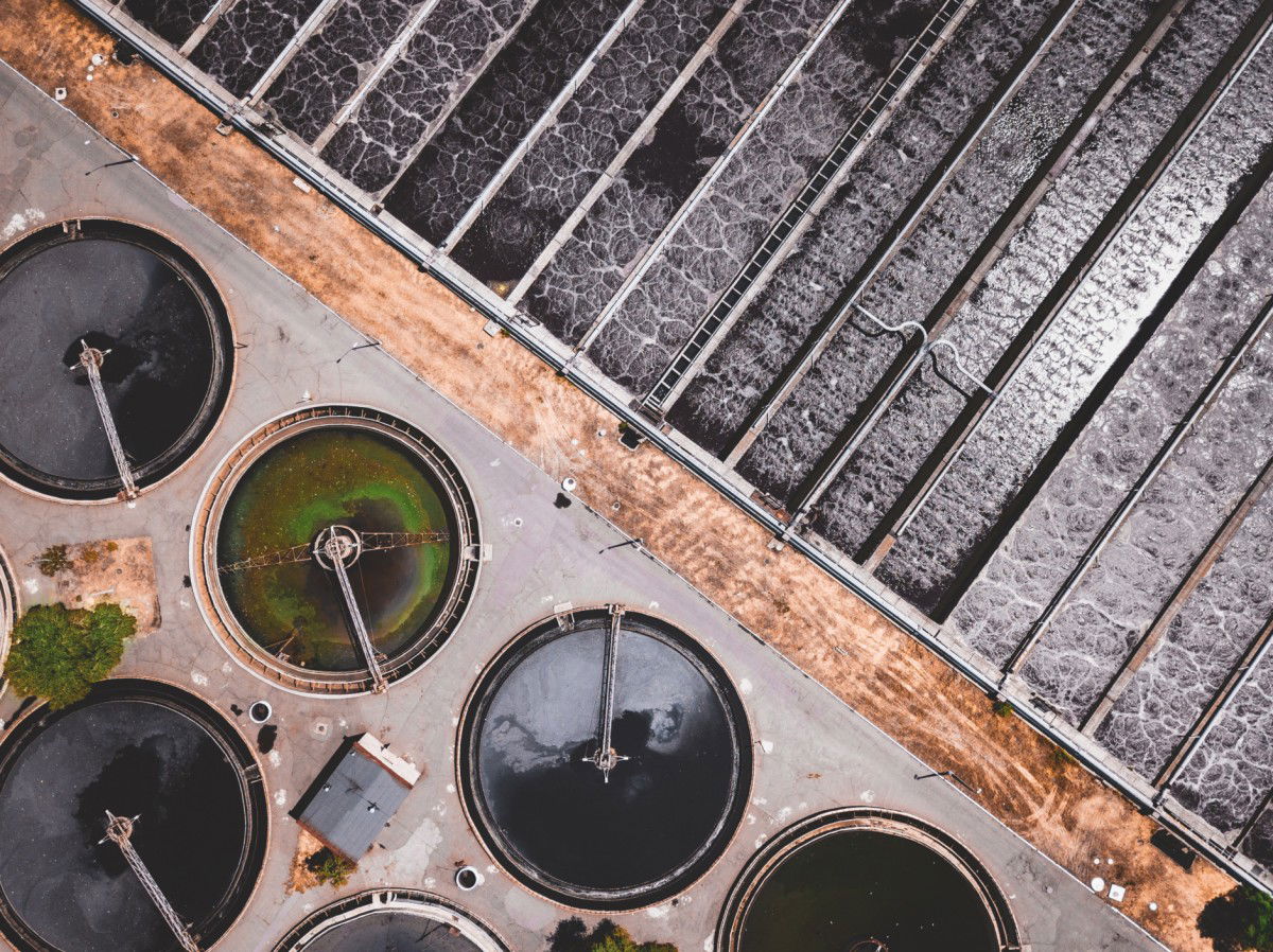
Waste Water Level Monitoring (EN)
Continuous Level Measurement (EN)

Avoiding Pump Failures (EN)
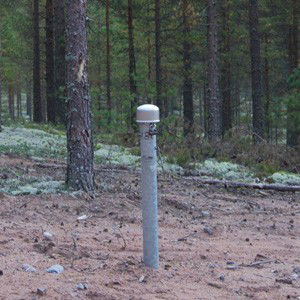
Wireless Groundwater Monitoring System (EN)
Cone Penetration Testing (EN)
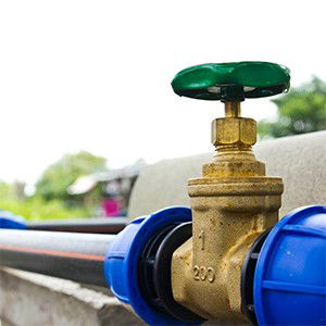
Water Consumption Monitoring (EN)
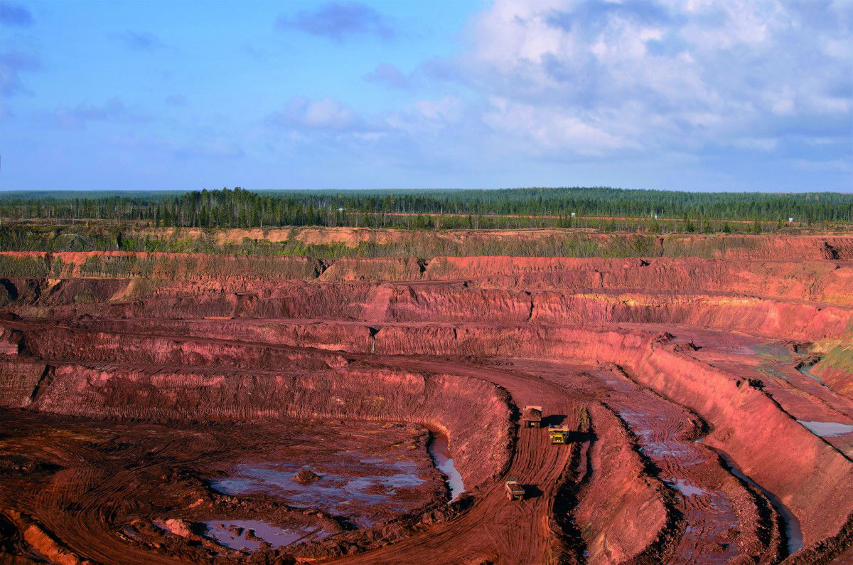
Water Monitoring in Open-Pit Mining (EN)
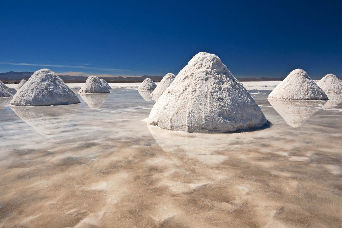
Lithium Brine Production (EN)
Dewatering a Diamond Mine (EN)

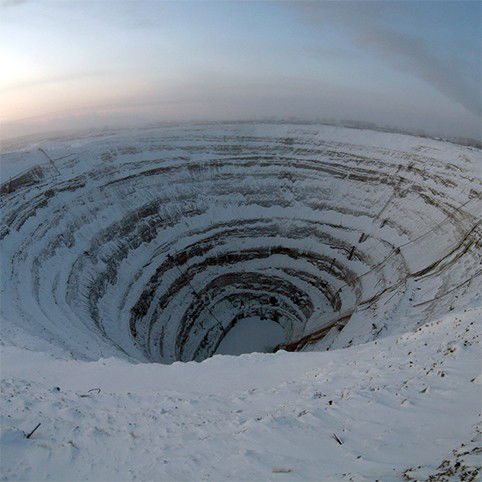
Mining in a Diamond Deposit (EN)
Water Wells Level Measurement (EN)
Groundwater Level Measurement (EN)
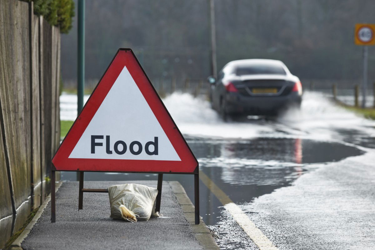
Allarme automatico di allagamento torrenziale
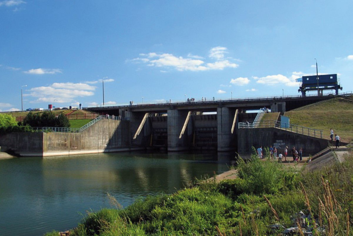
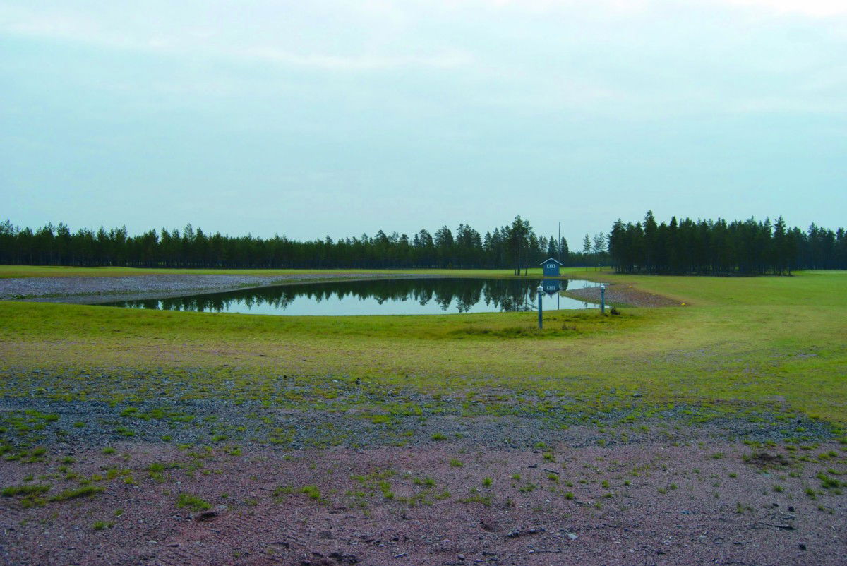
Dam Water Level Monitoring (EN)
Keeping Floods at Bay (EN)
Hydrological Water Level Monitoring (EN)
Contatto
SOLUZIONI PER LE VOSTRE APPLICAZIONI
Siamo lieti di consigliarvi
